Hiking Mount Mansfield
January 03, 2015
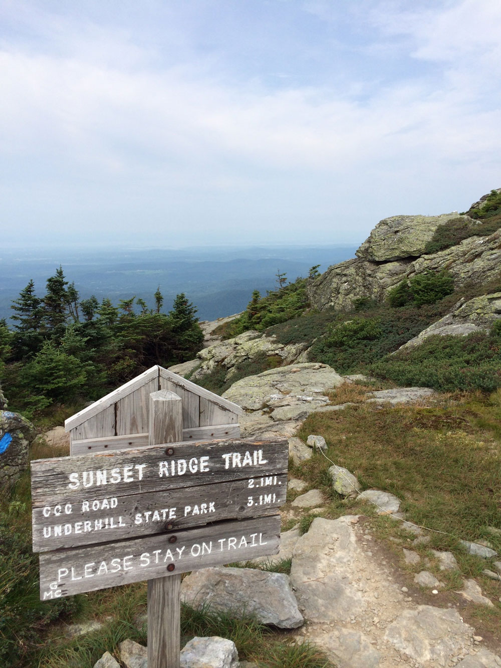
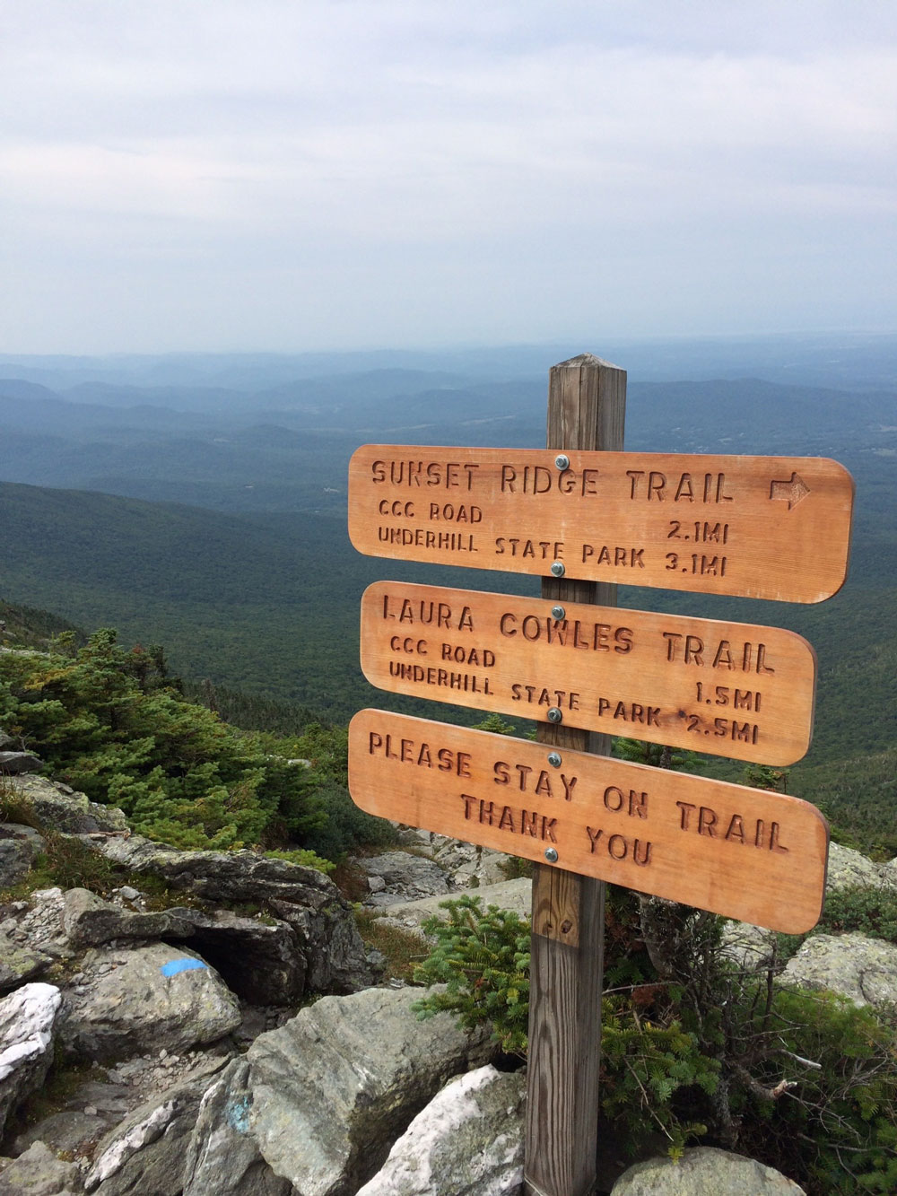
In August I had the opportunity to hike the Sunset Ridge Trail to the summit ridge of Mount Mansfield near Burlington, Vermont. This was by far one of the most beautiful, yet challenging hikes I've been on. The trail starting from Underhill State Park was only 3.3 miles one way, but the 2,600 foot elevation gain wasn't easy, especially above the tree line. There are two or three places where pulling yourself up large rocks is required. Wind was a factor during my hike. Hiking down the mountain the winds had picked up considerably, and were strong enough to push me down. Once below the tree line, all was normal.
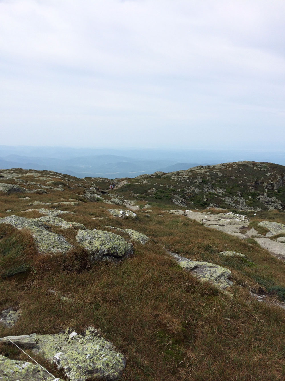
The challenges aside, the view and the vegetation above the tree line was beautiful. All worth the time and effort.
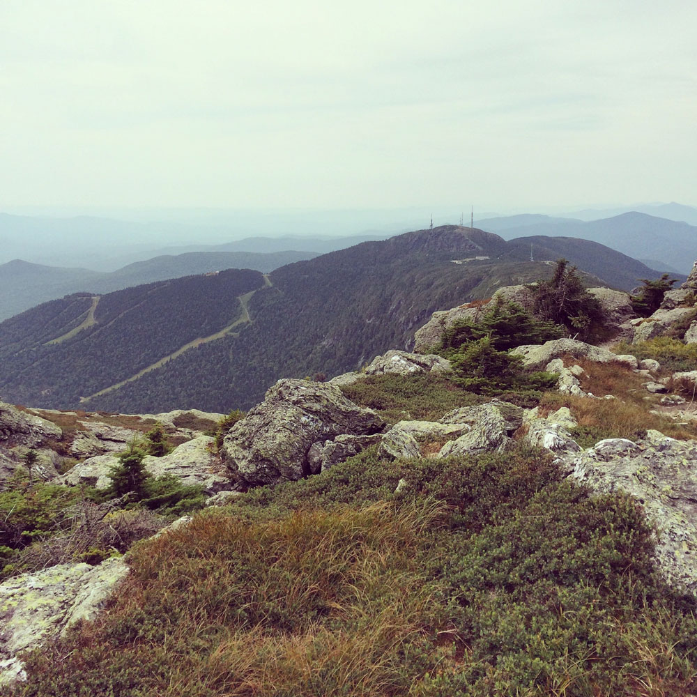 Stowe ski slopes in view from the top of Mount Mansfield.
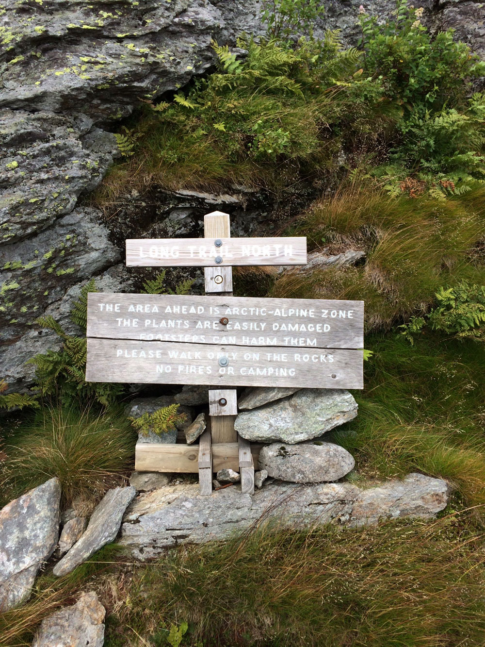
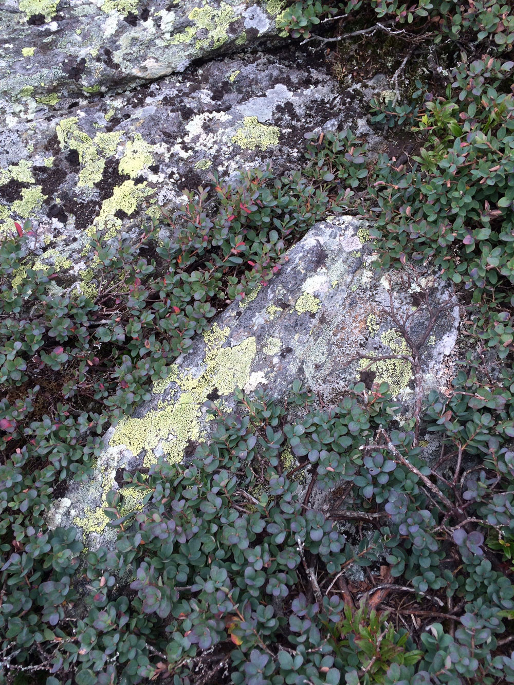 Mount Mansfield holds roughly 200 acres of alpine tundra dating back to the Ice Ages.
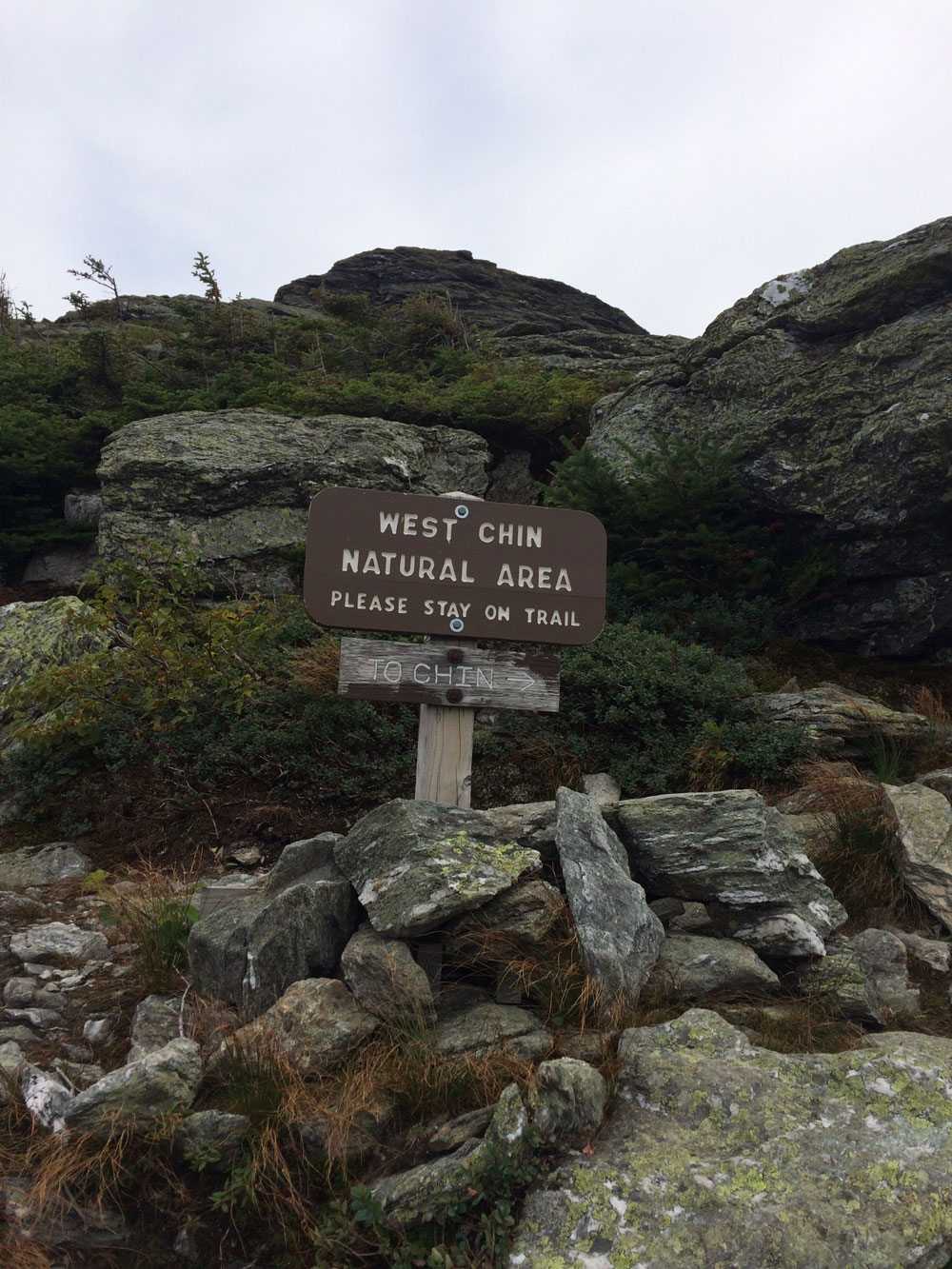
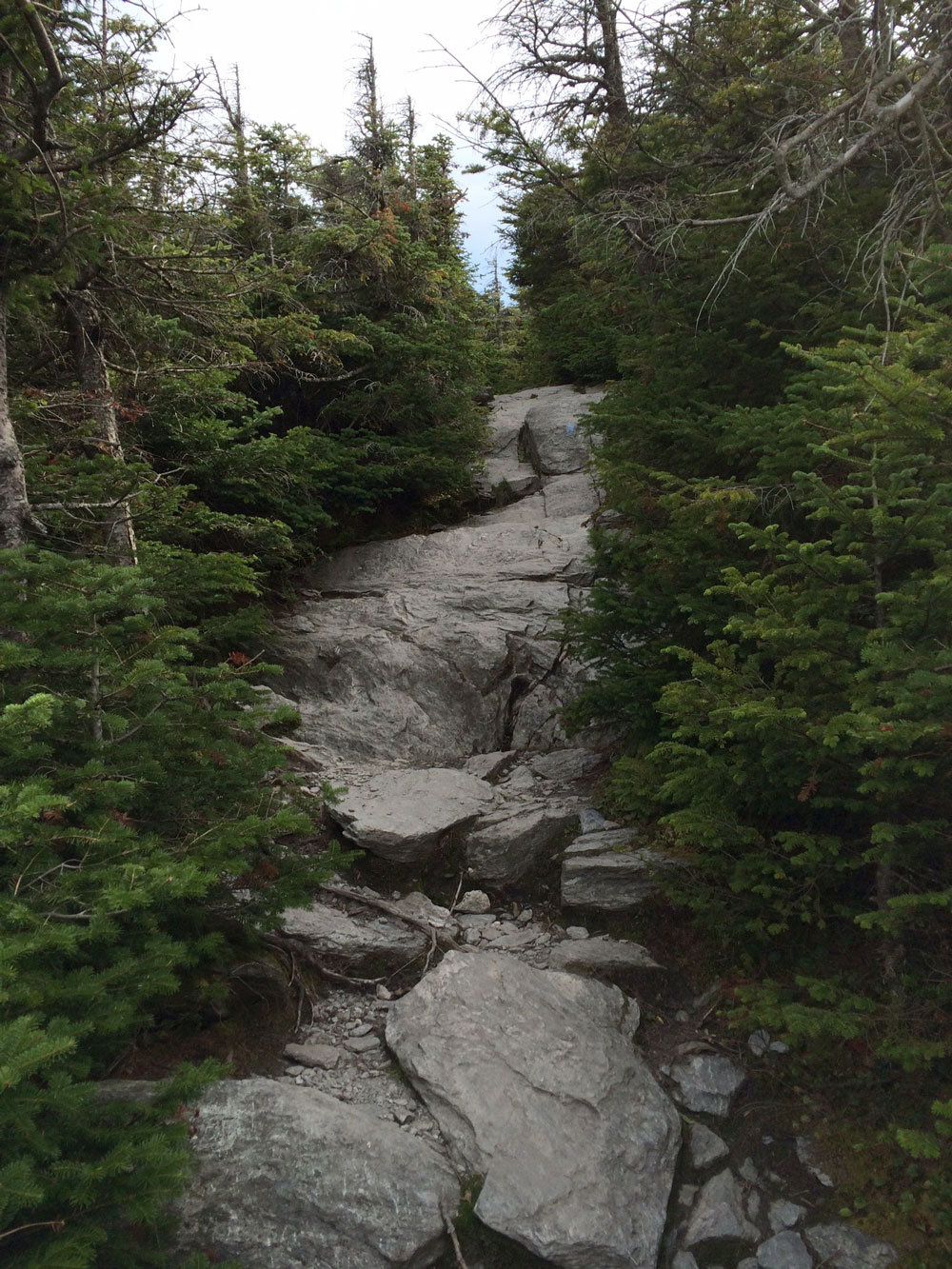 Just below the tree line. One of a few areas required to scale larger rocks.
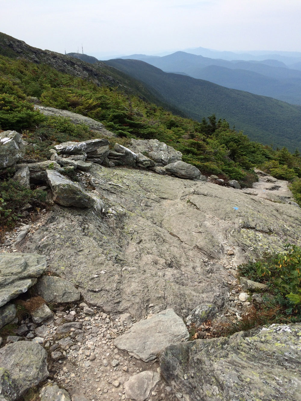 Looking down the trail. The blue stripes mark the trail.
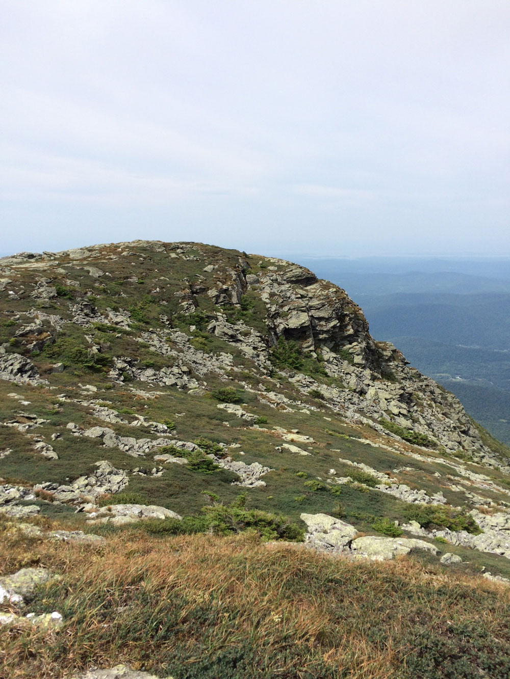
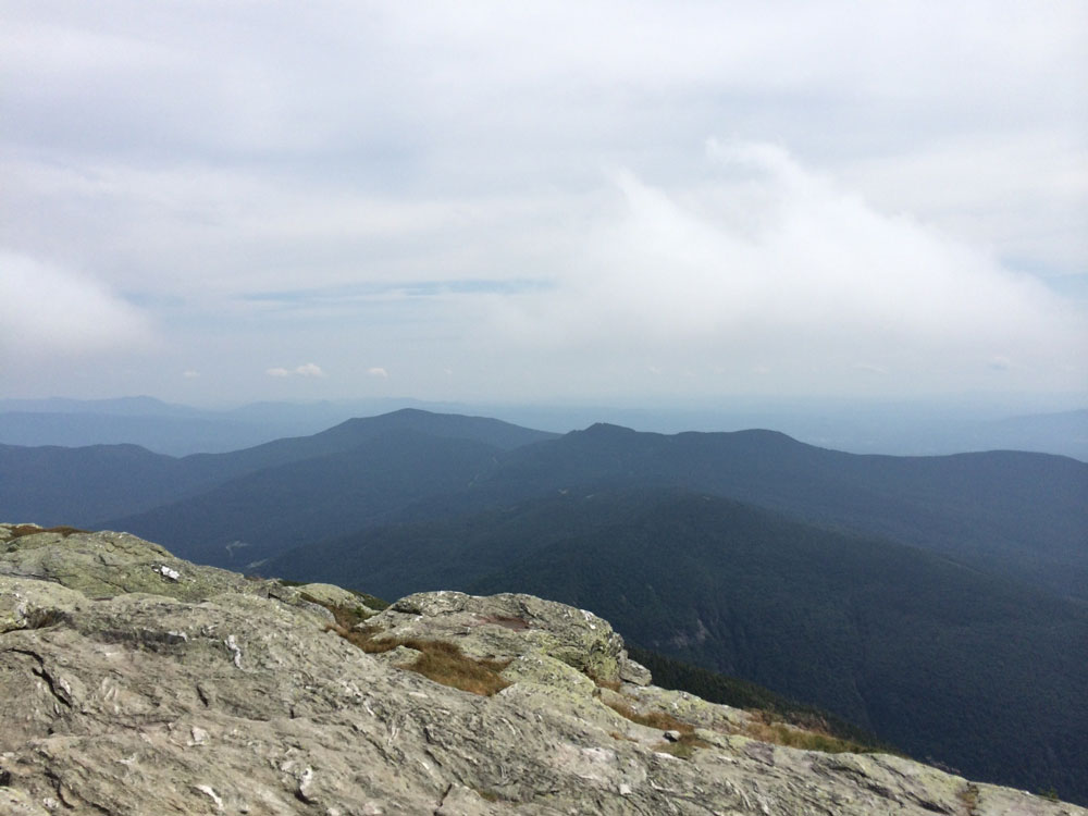 Mountain ridges viewed from the top of Mount Mansfield.
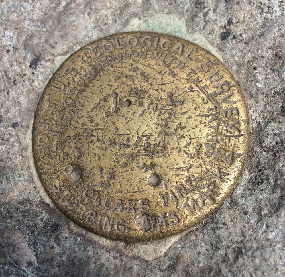 A USGS marker was placed at the top of the mountain in 1924.
 Panorama view from top of Mount Mansfield
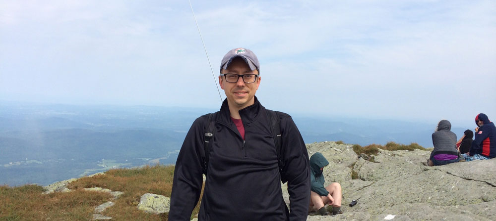
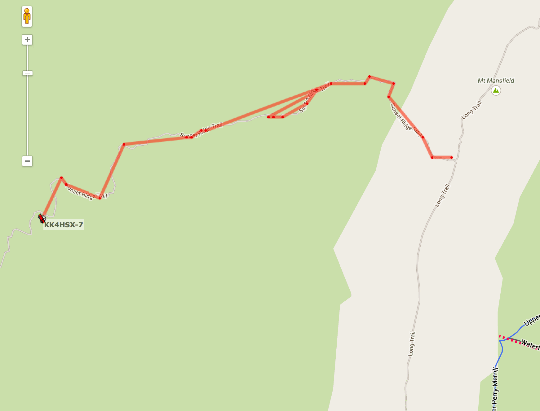 In the portrait above you'll notice an antenna behind me. I was running an APRS beacon that transmitted my position every few minutes. The above screenshot shows the results from aprs.fi. Only positions transmitted from above the tree line reached any near-by receivers.
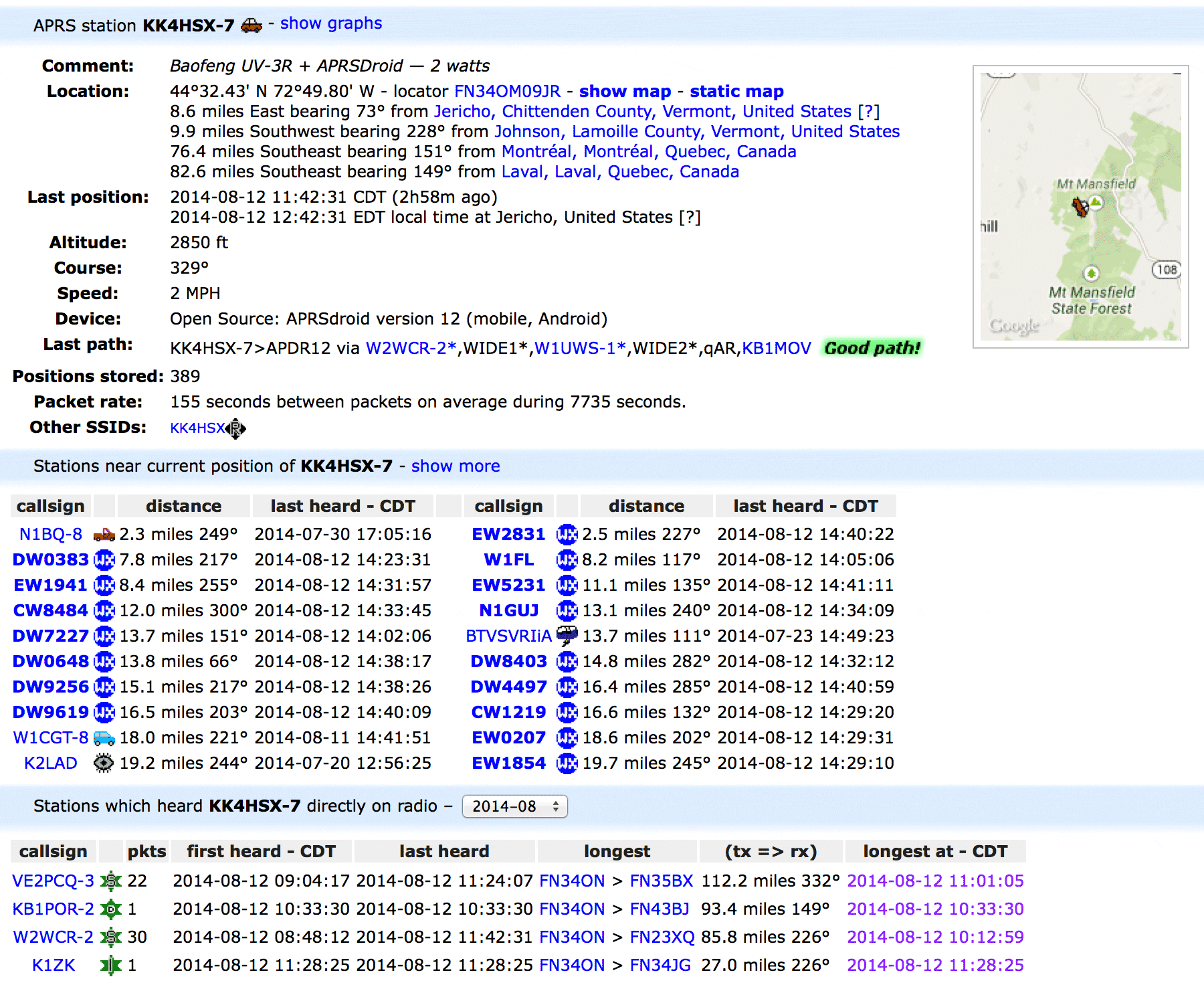 Details of my APRS position packets. A few packets managed a 112 mile trip into Canada!
For more content like this, subscribe to Amateur Radio Weekly, a weekly summary of the most relevant content in the world of Ham Radio. ♦
